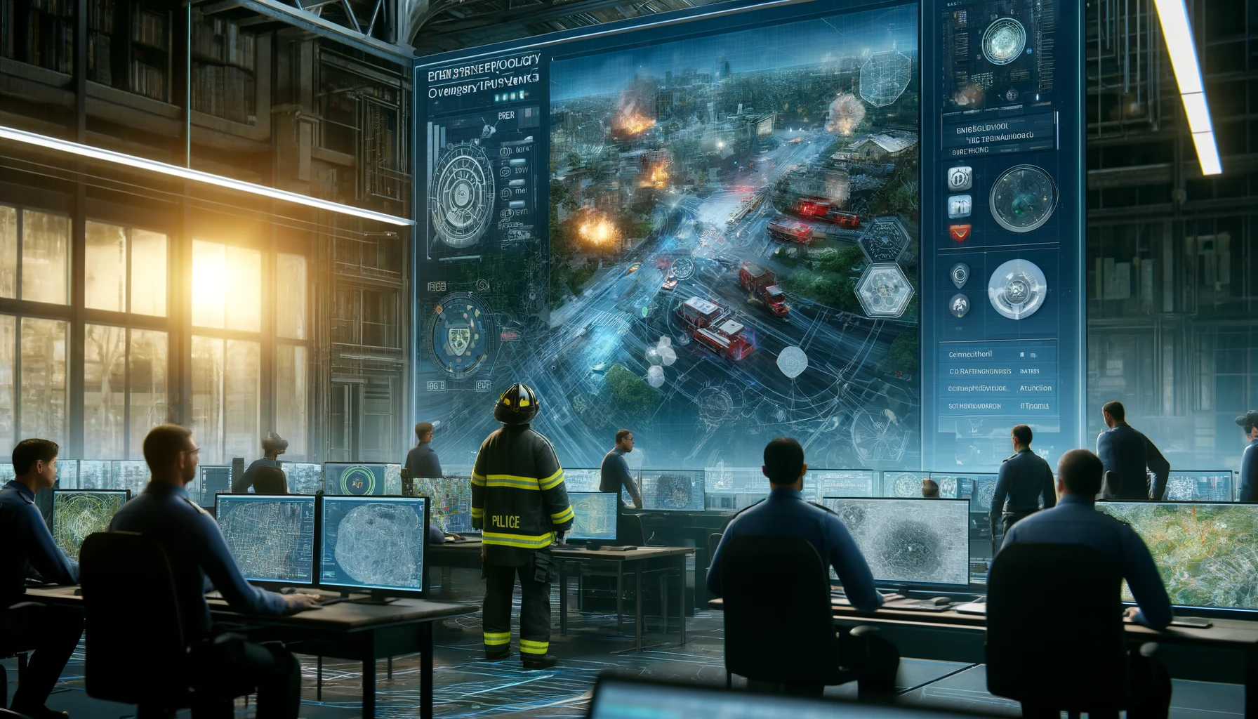
As urban areas become increasingly congested and complex, the importance of advanced navigation technology in enhancing public safety is becoming more crucial than ever. From tracking emergency callers in large natural parks to navigating the intricate layouts of major cities, the need for effective navigation has never been greater. Public safety agencies are on the brink of a technological revolution that promises to transform emergency response. But how exactly can advanced navigation technology improve public safety, and what does it mean for response times and emergency management?
To gain insights into these questions, we interviewed Chris Carver, a renowned Public Safety Technology Champion. His analysis highlights the operational benefits of these technologies and their potential to transform emergency response scenarios. Here are some key points from Chris Carver’s analysis:
1. Precision in Emergency Responses: Advanced navigation technology enables precise location tracking, which is crucial for directing emergency calls to the appropriate 911 center. This ensures that responders arrive at the scene quickly and efficiently, saving valuable time that could be used to save lives.
2. Optimized Responder Deployment: Technologies like geospatial routing ensure that the nearest and most suitable responders are dispatched to a specific location, reducing travel time and increasing response times. This leads to faster arrival at the scene, resulting in quicker treatment of injuries and better outcomes for patients.
3. Cross-Discipline Coordination: The integration of various emergency services into an advanced navigation system allows for a more effective overall response strategy by allowing different disciplines to work together seamlessly. This collaboration results in faster deployment of resources and more efficient use of resources across all services involved.
4. Adaptability in Crisis Situations: During events like Superstorm Sandy, advanced navigation tools can adjust to rapidly changing geographic conditions by using real-time data feeds from multiple sources such as satellite imagery or ground sensors. This allows responders to make informed decisions based on accurate information about the situation on the ground, leading to faster responses and better outcomes for victims.
5. Routine and Critical Impact: These technologies play a role in creating safer communities by enabling routine maintenance tasks such as traffic management or disaster recovery operations on regular days as well as extraordinary days like hurricanes or earthquakes when critical infrastructure is damaged or destroyed.
In conclusion, advanced navigation technology plays an essential role in public safety by improving operational capabilities and making emergency response more efficient, accurate and effective than ever before
